Water Friendly Farming, Leicester
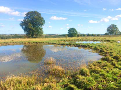
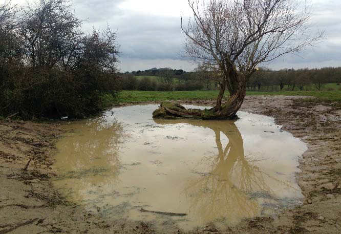
The pond network is situated in typical farmed countryside and is part of study of the whole network of freshwaters and how ponds interact with and influence landscape scale freshwater biodiversity. The network of ponds is typical of the mostly degraded and impacted sites found in modern industrialised agricultural landscapes and provides important new data on (a) the value of new clean water pond creation; (b) the biodiversity limitation of ‘ecosystem services’ ponds and (c) the limited impact of pond management where most ponds are polluted. It has demonstrated the largest increase in landscape‐scale freshwater biodiversity, critically because of clean water pond creation, that has yet been documented.
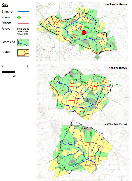
The project is assessing all of the ponds, all of the streams and all of the ditches in these three catchments.
Publications:
‐ Several publications and reports from Freshwater Habitats Trust
‐ The most important published results from Water Friendly Farming so far are in this paper published in Biological Conservation in 2020