Gete Vallei, Tienen
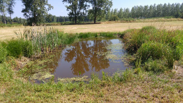
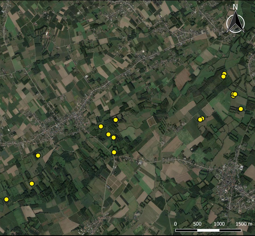
The pond network is located in an alluvial mosaic landscape with a dense network of small streams and rivulets. The region is considered to be important for natural water buffering. The variety of landscape characteristics (hegdes, sami-natural grasslands, forest patches and agricultural land) results in high biological diversity. Pond creation and pond restoration have contributed to the creation of suitable habitats for amphibians, including the Crested Newt (Triturus cristatus).
Publications:
Reports from Natuurpunt (NGO) committed to the management of nature values in the region.