Pond area Schöneiche, Berlin
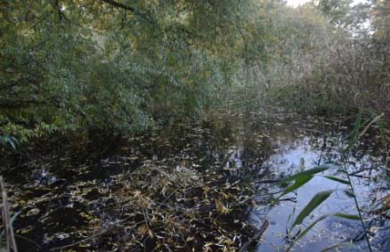
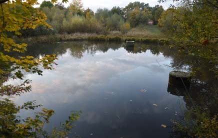
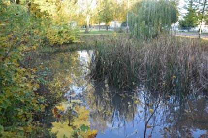
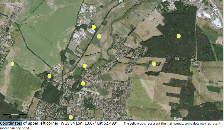
The pond network is the southern part of the FFH‐area ‘Fredersdorfer Mühlenfließ, Langes Luch und Breites Luch’ (Internal number 348, EU‐No. DE 3448‐302), with listed animal species Bombina bombina, Triturus cristatus, Lutra lutra, Misgurnus fossilis. The pondscape is situated at the north of the villages Schöneiche and Münchehofe, next to two small streams (Fredersdorfer Mühlenfließ, Zehnbuschgraben). Generally, it contributes to reducing the flood risk of areas situated downstream. However, in response to the recent (~10 yrs) rainfall reduction in the region, ponds have been connected to sealed areas to store rainwater in the landscape and keep a stable hydroperiod of the ponds. The network is also a recognized amphibian breeding site. The pondscape is used for regular citizen information and education, including local schools.
Publications:
‐ FFH‐area description
‐ NGO website
‐ NGO‐reports on hydrology, connectivity and recommended construction of hydraulic connectivity for
some of the ponds
Books:
‐ Cajar, W: Geschichte der Egelpfuhle (Schöneicher Hefte Nr. 14), 2016
‐ Cajar, W: Geschichte(n) um den Schöneicher Weidensee (Schöneicher Hefte Nr. 9), 2013
‐ Cajar, W: Gewässer in und um Schöneiche (Schöneicher Hefte Nr. 3), 2008